📹 Watch recorded webinar: Insights from 60.000 km of power line inspections

For efficient power line inspections with drones
Our software helps you scale your drone operations by standardizing flights, increasing efficiency and helping you comply with the regulations for BVLOS flight permits according to the EASA regulations.
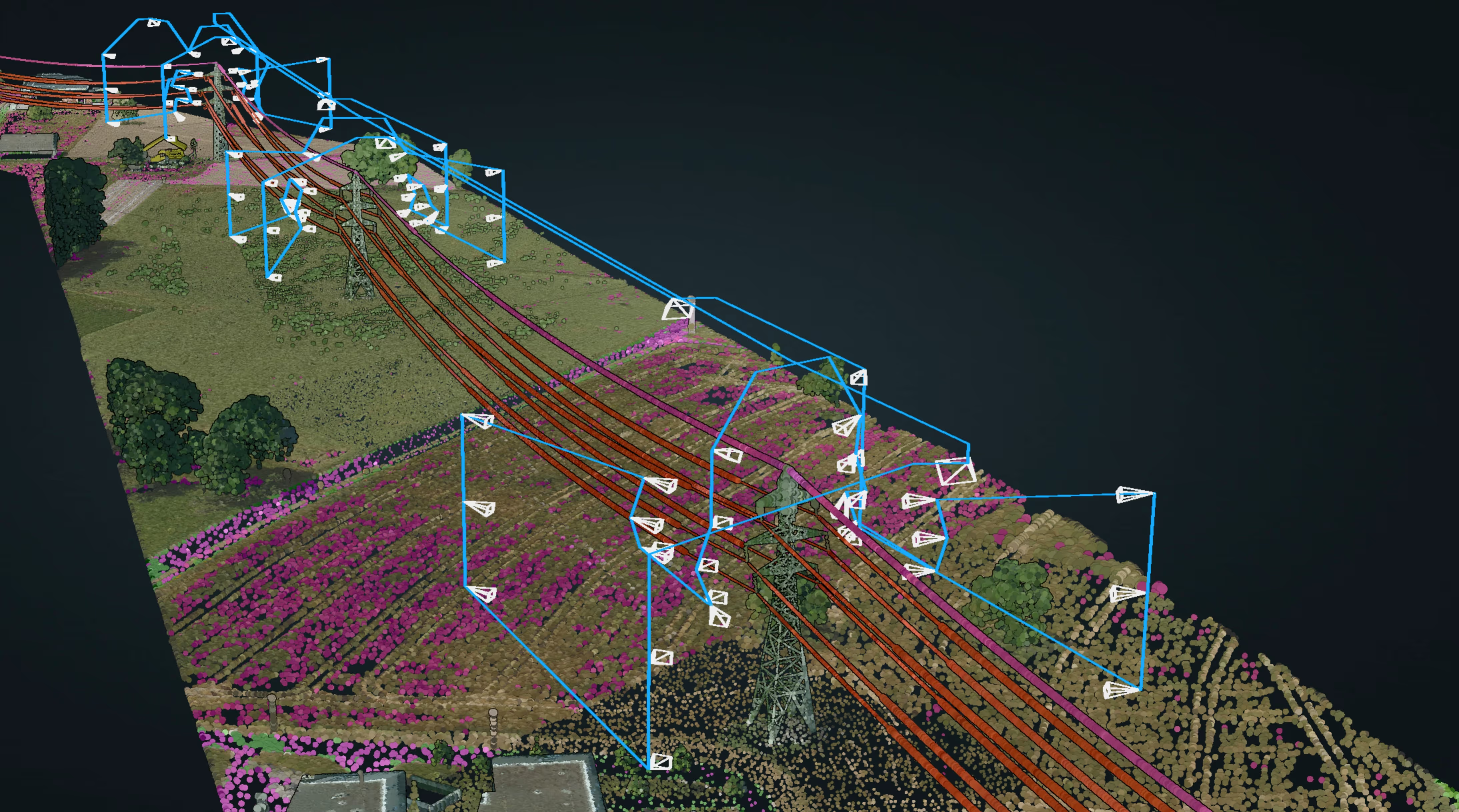
Of power lines for inspection? No problem
Whether you intend to undertake large inspection projects of low and medium voltage lines or highly detailed inspection projects of high voltage lattice towers, Airpelago Power’s software assists you in automating and managing large-scale drone inspection projects and obtaining high and consistent data quality for every pole or tower.
We turn our drones into autonomous bees using our smart software Airpelago Power, making drone inspections, significantly more efficient, automated and safe.
-smaller.avif)
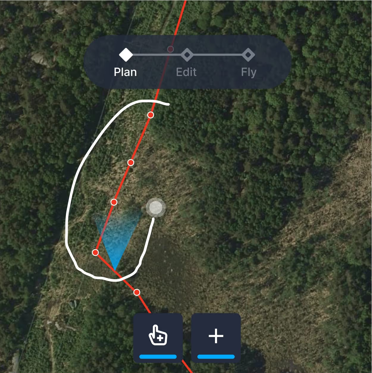
Whether it's low and medium or high voltage inspections, you can export geo-data from your NIS and use our deterministic algorithms to plan and automate flights for large inspection projects in seconds. There's no need for flight calibration and you have the flexibility to review the project based on parameters such as pole count or distance(km). You can estimate efficiency and pilot days, select flight presets, set data delivery locations and contacts, assign pilots, schedule dates, and much more.
Contact usEasily review flight plans and add local knowledge, map annotations, warnings, and no-fly zones.

To help your organization comply with the regulations for operational control responsibility, and other criteria required for flying drones beyond visual line of sight" (BVLOS).
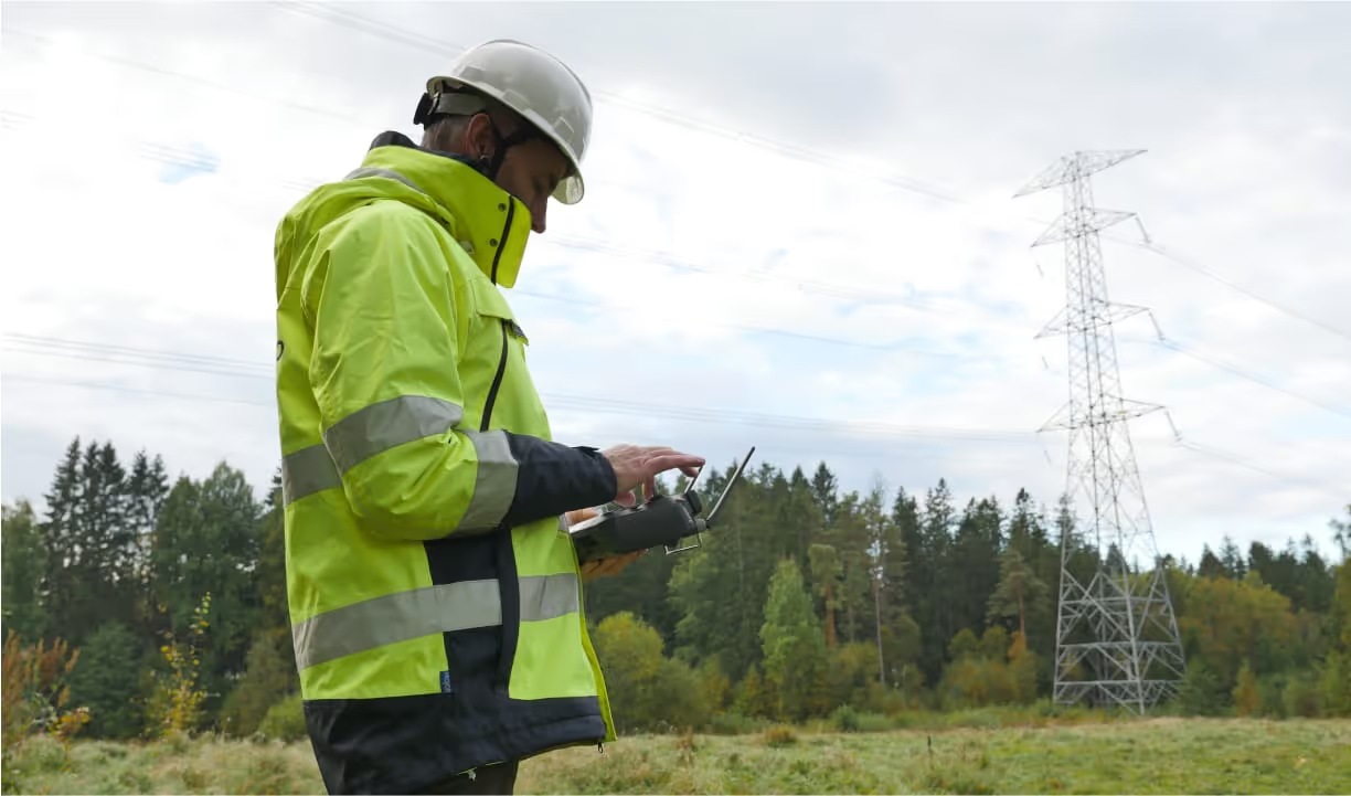
Define operational presets and set who can fly, with what (drone models), when and where. Ensure operational control responsibility for every flight.
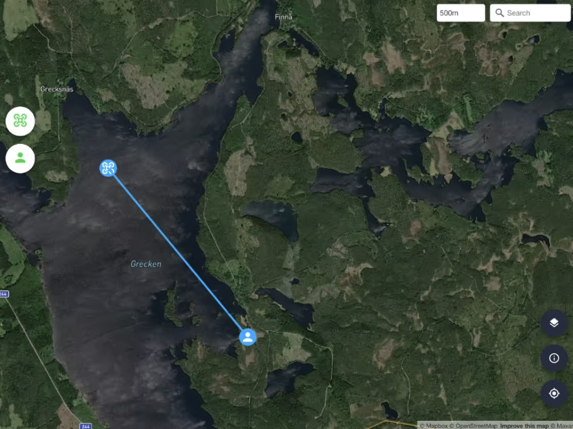
Integrated system features for handling flight deviations
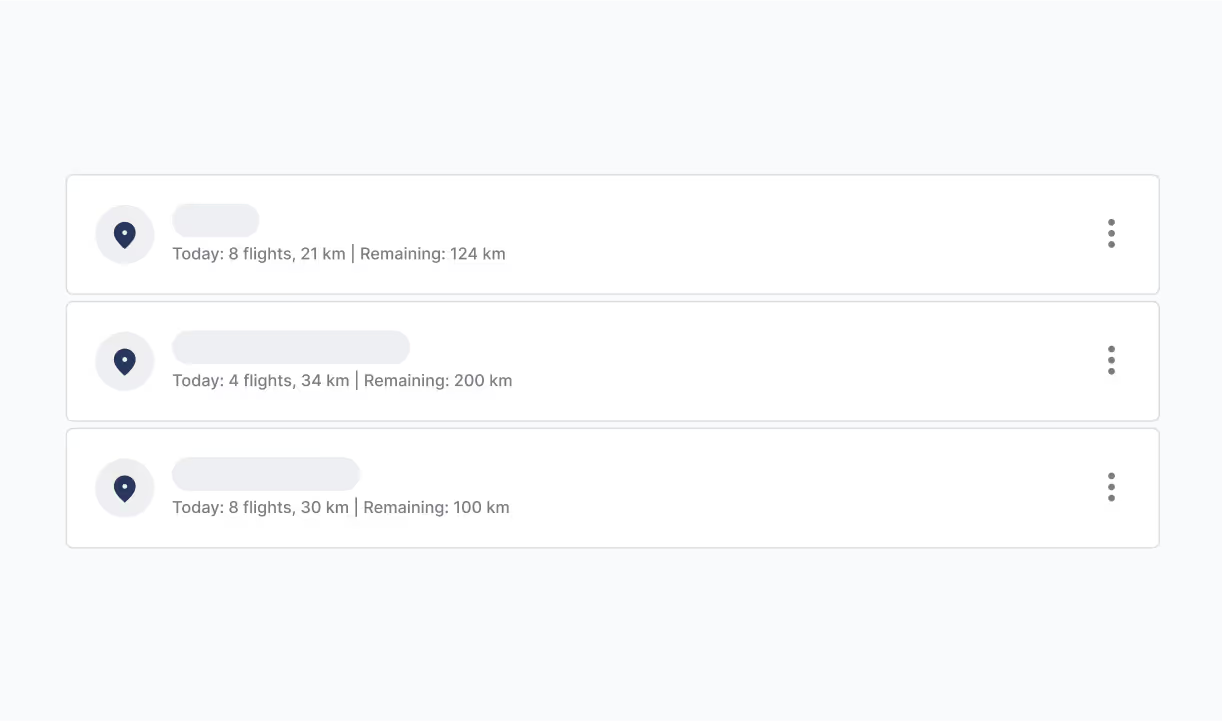
Set up projects with predefined Operational Presets

Checklists and flight logs are automatically synced and stored
Airpelago Power streamlines inspection processes, enabling consistent data capture with standardized resolution and camera angles. This uniformity across pilots and inspections improves data analysis quality and facilitates the production of high-quality insights.
Our pilot tools significantly enhance inspection efficiency, allowing more ground coverage daily. Variables like voltage, terrain, and flight authorization can boost efficiency by 10 to 50 km daily. Airpelago Power supports this with features like route planning, checklists, automatic tracking, smart guidance, team cooperation, Google Maps integration, instant reporting, and BVLOS operation support. It also enables terrain and risk assessment, road network and site accessibility review, intersecting line identification, and more.
Track your projects' progress and access detailed statistics through Airpelago Power. Add viewers, review flight logs, and replay videos and data effortlessly. Act promptly on crucial reports and analytics to optimize grid uptime.
Airpelago Power securely manages and standardizes your data, covering all steps from project initiation, pilot data upload, to data visualization, quality assurance, coverage, and storage with automated forwarding to analysis partners. It safeguards data through encryption on drones and cameras, and for high-security projects, the Airpelago desktop client can be used for safer data handling.
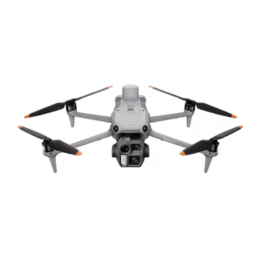
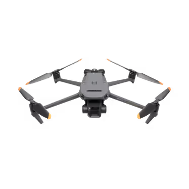
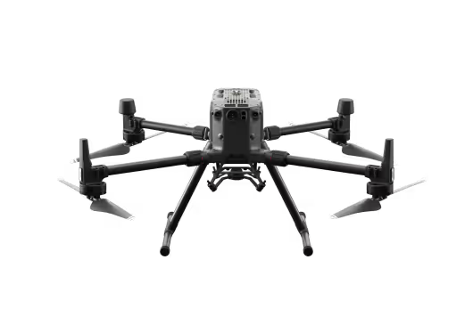
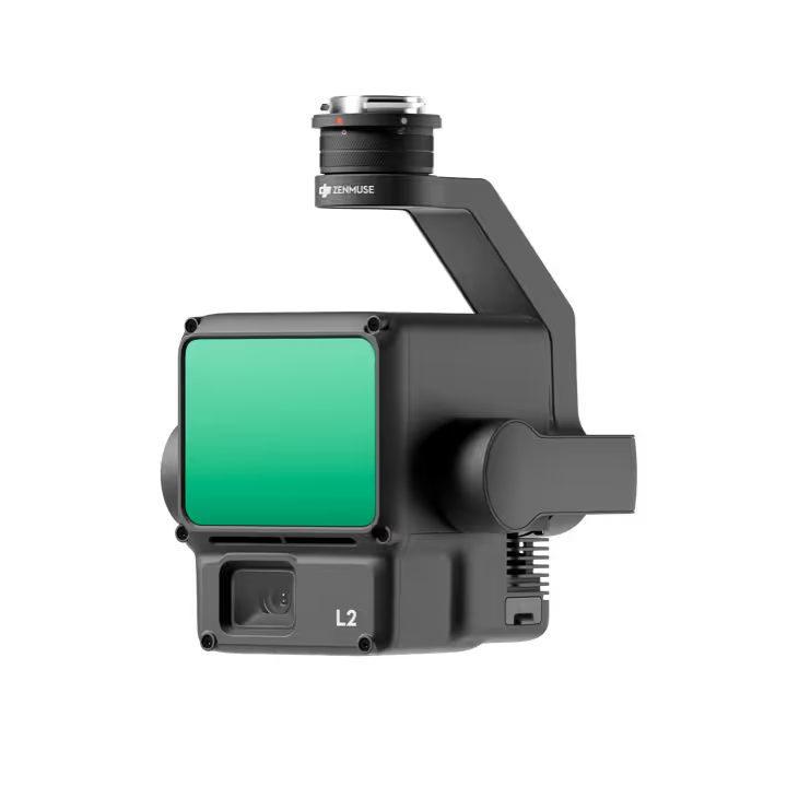
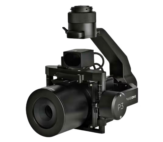
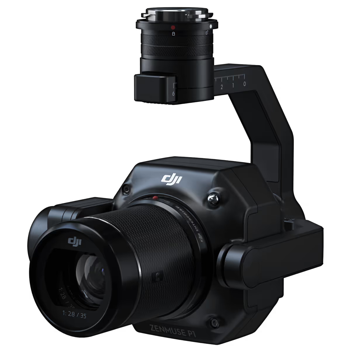
And upward
Our drones are a more sustainable and efficient way to inspect power infrastructure than helicopters that usually come with a sizable carbon footprint.
Learn moreDrone based inspections can reduce emissions with more ~10 ton CO2 / 1000 km / year*


Want to know more about Airpelago and our drone automation software? Talk to an expert.
Have a question or want to discuss your needs for power line inspections? Fill in the form or send us an email to info@airpelago.com and we'll get back to you immediately.